
Malaysia's Survey-Grade Geospatial & 3D Intelligence Firm
We translate physical reality into precision spatial data — point clouds, digital twins, and browser-accessible 3D intelligence your team can actually use.
Trusted by construction, infrastructure, and heritage clients across Malaysia. Built on 30 years of survey-grade engineering discipline.
Why Clients Choose AXYZ
Precision Spatial Intelligence Built for Asset Lifecycle Management
Geospatial Strategy & Spatial Consulting
Optimize project decision-making with expert geospatial and LiDAR consulting. We design tailored reality capture workflows, data integration strategies, and technical specifications matched exactly to your project scope.
Design-to-Reality BIM & Structural Verification
Safeguard project lifecycles from costly errors. We specialize in cross-verifying physical site conditions against BIM models and design intent, providing clear documentation for dilapidation and structural compliance.
Advanced Visual Computing & Point Cloud Processing
Experience the future of spatial data interaction. We bridge the gap between engineering and visualization by transforming massive, complex point clouds into lightweight, photorealistic 3D environments and immersive digital twins.
Millimeter-Accurate Reality Capture Data
Eliminate guesswork with survey-grade precision. By utilizing high-end terrestrial and SLAM hardware, we ensure absolute fidelity in our data capture, delivering reliable datasets that match true physical constraints.
Tap to interact
years of experience
in Survey & Geospatial
square-Metre
scanned — from construction sites to sports stadiums
faster
data acquisition vs. traditional methods — without compromising survey-grade accuracy
Projects
delievered
Our Premium Solutions
High-End Spatial Intelligence and Engineering-Grade Reality Capture.
Terrestrial & SLAM LiDAR Scanning
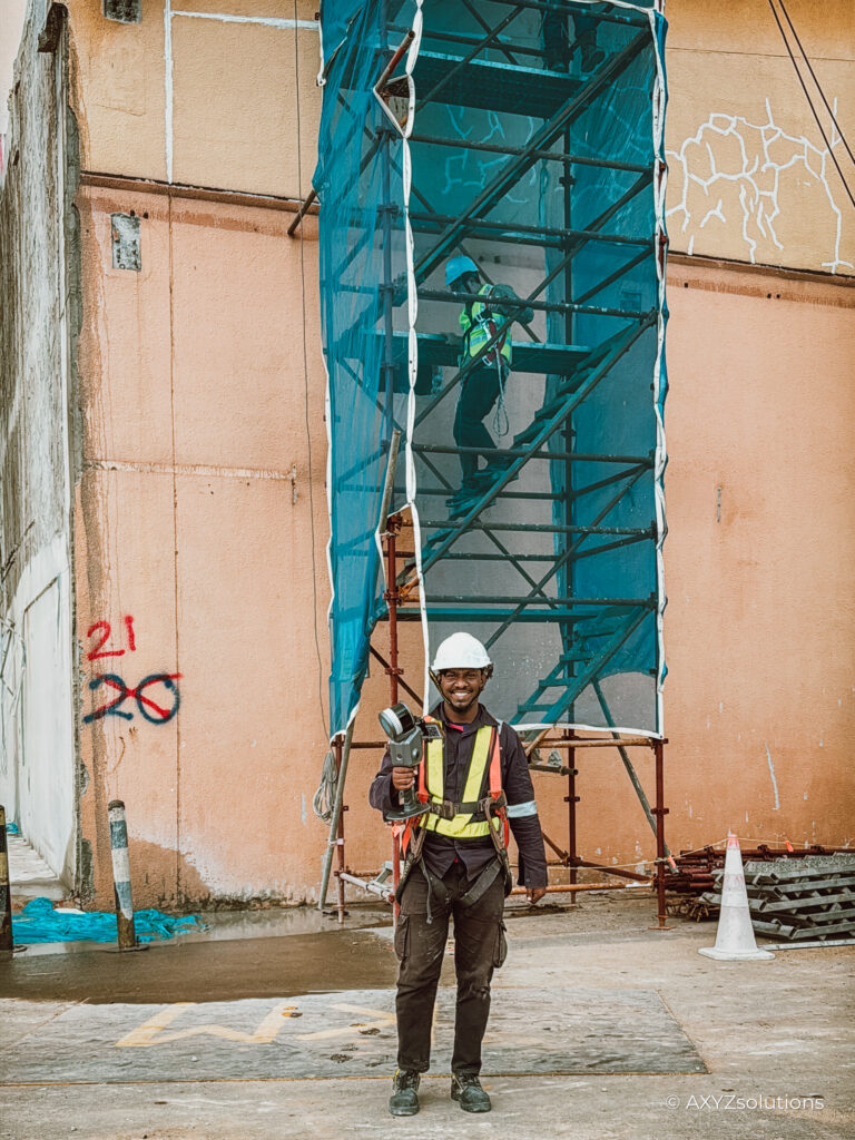
The foundation of everything we do. Millimeter-accurate point clouds captured with engineering-grade hardware — not consumer-grade scanning rigs. Our terrestrial and SLAM LiDAR data sets the standard that every downstream deliverable (BIM, digital twin, orthomosaic) is built on.
Digital Twins & 3D Gaussian Splatting
The high-fidelity spatial data asset your project deserves. We transform survey-grade point clouds into photorealistic, geometrically accurate digital twins using 3D Gaussian Splatting — producing the definitive record of your asset's physical state, suitable for engineering analysis, heritage archiving, and long-term facilities management.
UAV Aerial Mapping & Inspection
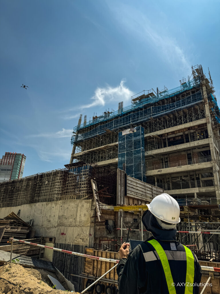
High-resolution aerial data capture for complex site topography and structural inspections. We integrate precise engineering models with drone imagery to deliver comprehensive, real-world site context.
Construction Verification & As-Builts
Quantify exactly how far the build deviates from design intent — before it becomes a dispute. We cross-reference physical site conditions against BIM models and design drawings with survey-grade accuracy, producing defensible documentation for dilapidation reporting, structural compliance, and handover sign-off.
Web-Based Spatial Data Platforms
Zero software. Zero downloads. Full spatial intelligence in any browser. Remote stakeholders — clients, engineers, project managers, and government reviewers — can navigate, annotate, and take real measurements directly from your 3D data through a secure, browser-based link. No specialist tools, no site visit required.
Digital Heritage & Asset Archiving
Preserve physical structures down to the millimeter. We deliver high-resolution, immersive virtual models tailored for structural heritage preservation, engineering audits, and facilities management.
Featured Projects
Our trail of digitizing the world around us, one square at a time.
Construction Project Management
3D RECONSTRUCTION
As Built Verification
Preservation Project
3D Reconstruction
Heritage Preservation
Land Planning
As-Built Digital twin
3D Verification of Development
3D Walkthrough
3D Simulation
3D Walkthrough
3D Twin
3D Verification of Development
3D Twin
ABOUT US
Precision in every point.
Possibility in every twin.
AXYZ Solutions is the bridge between 30 years of traditional survey-grade engineering discipline and the emerging demands of geospatial intelligence, 3D visualisation, and digital twin infrastructure in Malaysia.
Our founding engineers come from registered land surveying and civil engineering backgrounds. That heritage shapes everything: the accuracy standards we hold ourselves to, the way we document physical reality, and the technical credibility behind every data deliverable we produce.
Today, that same engineering rigour powers our LiDAR scanning, Scan-to-BIM workflows, 3D Gaussian Splatting, and browser-accessible spatial platforms — making AXYZ the technically credible partner for construction, infrastructure, and heritage projects that cannot afford to get spatial data wrong.
Contact
LET'S CAPTURE
YOUR SPACE.
YOUR SPACE.
Tell us about your project — whether it’s a heritage landmark, a commercial complex, or a construction site. We respond within 24 hours.